Potential Flood Warning
Date: Thursday 19 October

The Scottish Environment Protection Agency (SEPA) have issued regional Flood Alerts ahead of expected flooding from tomorrow, which may last until the weekend. Staff are working round the clock to ensure that partners and responder agencies have the latest information.
Rain is expected to move into the south of the country through the early hours of tomorrow morning, and travel up to the North East by around 6am. The heaviest and most prolonged rainfall is expected over Aberdeen City, Dundee & Angus, Aberdeenshire and Caithness & Sutherland, where unprecedented levels are forecast.
Other parts of Scotland are also at risk of flooding as rivers respond and drainage systems become overwhelmed. The risk of river flooding is exacerbated by the fact that many catchments are already saturated following recent heavy rainfall events. The rain will be also exacerbated by prolonged, strong winds from an unusual direction.
Pascal Lardet, SEPA Flood Duty Manager, said in a SEPA press release at midday today, 18 October: “Scotland has already experienced a significant flood event this month, which communities are still recovering from, and some of the rainfall totals forecast for this week are higher than experienced over that weekend – albeit in some different areas.
“We’re expecting extensive river and surface water flooding in affected areas, with widespread impacts to transport and infrastructure. There is a risk of more significant community scale property flooding – and there will be danger to life.
“Regional Flood Alerts have already been issued, and localised Flood Warnings will be issued over the next few days as rivers respond. However, it is important to note that not all areas that could be affected have Flood Warning schemes, so please do take a Flood Alert in your area as advance notice that you could be affected.
“Take action now to protect yourself and your property. Hazards can be hidden, so please don’t walk or drive into flood water. Remember that not only is flood water likely to be dirty, 30 cm of fast flowing water can move an average family sized car, and just 15 cm of fast flowing water could be enough to knock you off your feet.”
SEPA continue to work with the Met Office to monitor the situation 24/7. People can check our Flood Updates for all the latest information and the three-day Scottish Flood Forecast to see what conditions are expected further ahead.
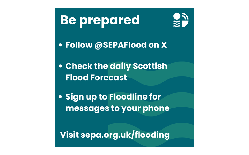
Be prepared
- Check the Scottish Flood Forecast (sepa.org.uk/scottishfloodforecast) - developed in partnership with the Met Office it provides the earliest indication possible of when and where flooding is expected over the next three days, and whether the source is from rivers, surface water or the sea.
- Sign up to Floodline and receive free flood messages letting you know when the area where you live, work or travel through is at risk of flooding.
- Create a flood plan which includes knowing how to shut off your gas, water and electricity supplies.
- Consider installing flood protection at your home.
Stay safe
- Don’t walk through flood water – 15cm of fast flowing water could be enough to knock you off your feet and hazards can be hidden under the water.
- Drive with care, and do not travel through deep fast flowing water. It only takes 30cm of fast flowing water to move an average family sized car.
- If you’re walking beside rivers be extra careful of wet footpaths and small watercourses.
- Consider deploying flooding protection products if required.
Stay informed
- Follow @SEPAFlood on X for the latest flooding information
- Check the Flood Alerts and Flood Warnings for your area - sepa.org.uk/floodupdates
- Check your transport routes and road conditions
- Ready Scotland shares advice on preparing for severe weather.
Advice on how to safe
- Don’t walk through flood water – 15cm of fast flowing water could be enough to knock you off your feet and hazards can be hidden under the water.
- Drive with care, and do not travel through deep fast flowing water. It only takes 30cm of fast flowing water to move an average family sized car.
- If you’re walking beside rivers be extra careful of wet footpaths and small watercourses.
What’s the difference between a Flood Alert and a Flood Warning?
- We use forecast weather information provided by the Met Office combined with our own observation of rainfall and river levels and advanced hydrological modelling to provide advance warning of flooding.
- Regional Flood Alerts are early advice that flooding is possible across a wider geographical area. The purpose of the Alerts is to make people aware of the risk of flooding and be prepared. We normally issue them 12 to 24 hours in advance of the possibility of flooding.
- Flood Warnings are more locally specific and are issued for areas where we have gauges on rivers to measure the exact river height. They are issued at shorter notice when we are more certain that a specific area will be affected.
Previous Posts

Electricity Supply Priority Services Register
We all rely on electricity day to day, but f... Read More >

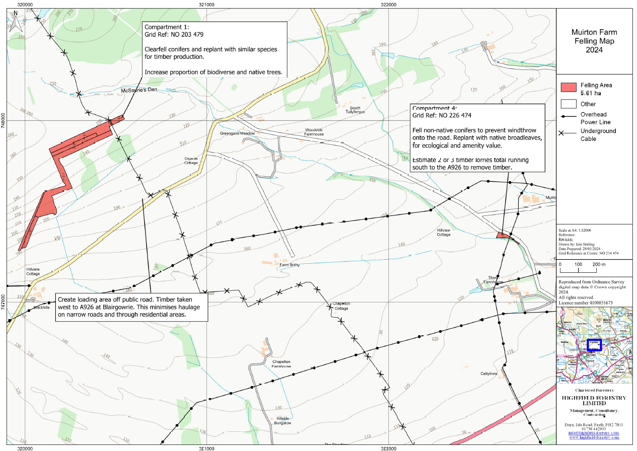
Muirton Farm Woods - Tree Felling - 2024
We received the following letter from Highfi... Read More >
